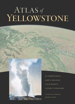
The UO and Yellowstone National Park have announced the release of the Atlas of Yellowstone—a colorful and data-rich hardback volume that captures the exceptional story of the greater Yellowstone area.
The UO and Yellowstone National Park are proud to announce the release of the Atlas of Yellowstone—a colorful and data-rich hardback volume that captures the exceptional story of the greater Yellowstone area.
More than 300 pages of maps, graphs and text describe the park and surrounding area from fifty thematic perspectives, including the region’s history, geology, wildlife, rivers, geothermal and fire activity, native peoples and economy.
 Ten years in the making, the reference represents the synthesis of 200 years of exploration and research and the insight and expertise of numerous geographers and scientists. It is also the first comprehensive atlas ever made of a national park.
The project was led by Department of Geography members Andrew Marcus, Jim Meacham and Alethea Steingisser in collaboration with Ann Rodman at Yellowstone National Park.
Its publication follows the phenomenal success of the Atlas of Oregon, released by the UO’s renowned InfoGraphics Laboratory in 2001. Still in popular circulation a decade later, the internationally acclaimed Atlas of Oregon was described as “a tour-de-force in cartography and design” by the National Geographic Society.
Meacham, the editor of cartography for both atlases, says the Atlas of Yellowstone employs the same attention to reader accessibility, story-telling and communicative imagery that made the Oregon atlas a success. But more than simply a beautiful testament to America’s first national park, the Atlas of Yellowstone was conceived as a definitive reference for tourists and scholars alike.
“It’s both an academic reference volume for the entire area of Yellowstone and something for people who cherish Yellowstone to take home,” said Marcus.
To learn more about the project, or to order an atlas, visit atlasofyellowstone.net.
—Patricia Hickson


 study by UO economists, released just before the Rose Bowl, has been picked up by the media far and wide.